
Parsel Sorgu: How to Check a Turkish Land Parcel Online
Turkey’s land registry publishes a free public map of every registered parcel in the country. It will not tell you who owns a plot — but it will tell you whether the plot exists, where its boundaries actually run, how big it really is and what it is registered as. Here is how to use it, and where it stops.
The land exists, or it does not. You can check that yourself, today, for nothing.
Most of what a foreign buyer is told about a Turkish property arrives second hand. A listing describes a plot; an agent describes a view; a developer describes a boundary. Almost none of it is independently verifiable from the outside — which is why the first genuinely useful thing a buyer can do costs nothing and takes about five minutes.
Turkey’s General Directorate of Land Registry and Cadastre, the Tapu ve Kadastro Genel Müdürlüğü or TKGM, publishes a public parcel enquiry application at parselsorgu.tkgm.gov.tr. It maps every registered parcel in the country. Anyone can open it, from anywhere, without an account. You give it a location and it gives you back the cadastral identity of the land: which province, district and neighbourhood it sits in, its block and parcel numbers, its area, its map sheet reference and what it is registered as.
That limitation is deliberate rather than accidental. Ownership information is personal data and is not published in the open enquiry. The systems that do expose registry records — principally Web Tapu — require authentication and release records only to owners and to the people an owner has formally authorised.
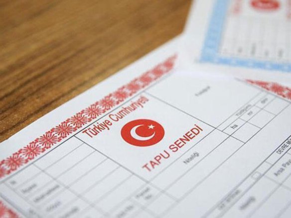
So the tool has a specific job in a purchase, and it is an early one. It is how you sift. Before a viewing trip is booked, before a lawyer is instructed, before a deposit is discussed, you can establish whether the thing you are being sold corresponds to a real parcel with the dimensions and character you have been told about. A surprising number of properties fall at exactly this hurdle. For the wider process, our guide to how the Turkish title deed works covers what happens after this check, and our seven pitfalls foreign buyers still fall into sets out the sequence the whole purchase should follow.
Parsel Sorgu — At a Glance
What the public parcel enquiry is and what it returns
Running a parcel check, step by step
The whole sequence takes a few minutes once you have the numbers. Getting the numbers is the part people skip.
Ask for the parcel’s administrative identity, not its address
Before anything else, ask the seller or agent for the province (il), district (ilçe), neighbourhood or village (mahalle or köy), the block number (ada) and the parcel number (parsel). For an apartment, also ask for the independent unit number (bağımsız bölüm no). A vendor who cannot or will not supply these numbers for a property they claim to be selling has told you something important. Write them down and use them for every check that follows.
Open the official application
Go to parselsorgu.tkgm.gov.tr. There is no registration step and no fee. Be deliberate about using the official TKGM address: a number of commercial sites reproduce parcel data with their own branding, varying levels of currency and occasional sign-up walls. The authoritative version is the one published by the land registry itself.
Search by whichever handle you actually have
The application supports four approaches. An administrative search takes the province, district, neighbourhood, ada and parsel — this is the precise one, and the one to prefer. An address-based search works from a street address for urban properties. A map-based search lets you pan and zoom and simply click the parcel. A coordinate-based search accepts latitude and longitude, which is useful for rural land where someone has sent you a pin rather than a document.
Read the record, field by field
The result returns the province, district and neighbourhood or village, the ada and parsel numbers, the area in square metres, the map sheet number (pafta), the registered property type and use, and the land status. Compare each field against what you were told. Area is the field that most often diverges from a listing, and the registered nature of the property is the field most often quietly different from how it is being marketed.
Look at the shape, not only the numbers
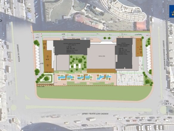
Switch between the cadastral and satellite views. A parcel’s outline against the imagery tells you things no field does: whether the plot is regular or an awkward sliver, whether the building sitting on it is actually within the boundary, what it borders, and whether the sea view in the photographs comes from land that belongs to somebody else. Boundaries relative to neighbours, roads, watercourses and treelines are frequently where the real story is.
Export it and keep it in the file
The data can be downloaded as PDF, GeoJSON or KML. Save it with the date. It gives a lawyer, a valuer or a surveyor an unambiguous starting point, it records what the public cadastre said at the moment you looked, and it costs nothing. Then move on to the checks this tool cannot do — ownership, encumbrances and what may lawfully be built.
What each field is actually telling you
The enquiry returns a short list of fields. Each one answers a different question, and each one has a way of going wrong.
Ada & Parsel
The block and the plot within it. Together with the province, district and neighbourhood these uniquely identify the land, independently of any street name. This is the property’s real name — use it everywhere.
Alan — Area
The registered area in square metres. Compare it against the listing. Marketing figures are often rounded upward, and for land the gap between the advertised and the registered area can be substantial.
Nitelik — Nature
What the property is registered as and how it is used. A plot marketed as a building plot may be registered as something else entirely. Where the registered nature and the sales pitch disagree, the register wins.
Pafta — Map Sheet
The cadastral map sheet the parcel sits on. It rarely matters to a buyer directly, but it is the reference a surveyor or lawyer will use when pulling the underlying cadastral documents.
Mahalle or Köy
The neighbourhood or village. Worth checking against the marketing: properties are routinely advertised under the name of a better-known adjacent area rather than the one they are actually registered in.
The Boundary On The Map
Not a field, but the most informative part of the result. Where the outline runs relative to buildings, roads, the shoreline and neighbouring plots is where mismatches between story and reality become visible.
Parsel Sorgu vs the land registry record
Two different things, doing two different jobs. Confusing them is the most expensive mistake available here.
| Question | Parsel Sorgu (public enquiry) | Land registry record |
|---|---|---|
| Does the parcel exist, and where? | بله | بله |
| Area, ada, parsel and pafta | بله | بله |
| Registered nature of the property | بله | بله |
| Boundaries shown on a map | بله | Via cadastral documents |
| Who owns it | No — personal data | بله |
| Mortgages, liens and annotations | نه | بله |
| Accepted in official procedures | No — informational only | بله |
| Account or identity number needed | نه | Yes — owner or authorised party |
| Cost | Free | Per the Land Registry’s published tariff |
| Best used for | Sifting and early verification | Deciding and completing |
The practical consequence is a sequence rather than a choice. Use the public enquiry to establish that the land is real and matches its description, because that is free and instant. Then move to the registry record, through the Land Registry Directorate or through an authorised Web Tapu enquiry, to establish who owns it and what is registered against it. Then, separately, check what may lawfully be built or done on the parcel — which is a planning question rather than a cadastral one, and is covered in our guide to checking imar durumu and zoning.
Two specific traps are worth naming. The first is the parcel that is real, correctly described and jointly owned: a shared title changes what you are buying considerably, and we cover it in what a shared title deed actually gives you. The second is rural or semi-rural land where part of the parcel falls within state forest boundaries following a finalised forest cadastre — a situation the public map will not flag for you, and which is set out in our guide to the forest annotation on a Turkish title deed. Neither is visible in a parcel enquiry, and both are ordinary enough to be worth ruling out.
Finally, a word on currency. Cadastral records are maintained and corrected over time, and the register itself can contain errors that need formal correction — see tapu errors and cadastral corrections. Treat a parcel enquiry as a snapshot of what the public cadastre said on the day you looked, which is exactly why it is worth exporting and dating.
Have a parcel you want checked properly?
Send us the ada and parsel numbers and we will run the cadastral, title and zoning checks before you commit to anything.
Parsel Sorgu — frequently asked questions
What the public parcel enquiry does, what it deliberately withholds, and how far it can be relied on.
Where to go next
The checks that come after the parcel enquiry, and the wider foreign-buyer library.
- Tapu: how the Turkish title deed works — what the register records and how to read it.
- İmar durumu and zoning checks — what can lawfully be built on a parcel.
- Land for sale in Turkey — what foreign buyers need to know before buying a plot.
- Buying agricultural land in Turkey — the rules that apply to farmland.
- Tapu errors and cadastral corrections — when the register itself is wrong.
- Hisseli tapu: shared title deeds — what a share in a parcel actually gives you.
- Seven pitfalls foreign buyers still fall into — the sequence to follow.
- Turkey property guides — the full library for international buyers.
Let us run the checks the public map cannot
Send us the ada and parsel numbers of any property you are considering. We will verify the cadastral record, obtain the title position and annotations through the proper channels, and confirm the zoning before anything is signed. We work with licensed Turkish conveyancers and appraisers.


پیوستن به گفتگو